Another round of rain with a stronger front
COLUMBUS, Mississippi (WCBI) – Conditions will remain plenty humid through Wednesday afternoon, then clearing and cooling takes over. Moving back towards sub-freezing temperatures the morning of the Winter Solstice.
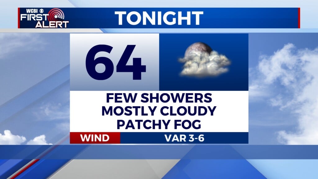
TUESDAY NIGHT: There will be a slight surge in the moisture tonight, ahead of a strong cold front moving across Mississippi tomorrow. Most of the corner will stay dry tonight, though the chance of an isolated showers may be possible. Overnight temps stay mild, in the upper 50s.
WEDNESDAY: Along with the strong cold front, another round of rain should move through from late morning through mid-afternoon. There is a low-end risk of gusty winds along the leading edge of the line for areas near Oxford to Corinth to Iuka between 7-11a. Have ways to receive possible severe thunderstorm warnings. Here is the nice thing though, moisture will actually decrease with time as the front passes. Meaning, the strongest storm should fizzle out as the line progresses across North Mississippi. Plenty of light showers will continue riding along the front. Colder air will be quick to fill in behind the front, dropping lows into the 40s.
THURS/FRI: Much cooler compared to the first half of the week. Highs are expected to be in the low to middle 50s. Clouds will be clearing out throughout the day Thursday, lots of sun for Friday. Overnight temps will be on the drop, heading towards sub-freezing lows again by Saturday morning. Which also marks the official first day of Winter!


