Stormy June pattern continues, severe storms possible
COLUMBUS, Mississippi (WCBI) – A stationary front with June heat & humidity will bring several rounds of rain and storms to the region through mid-week.
TUESDAY: Showers and a few storms are likely in the morning hours, tapering into the mid to late afternoon. A few of these could be locally strong, but the severe threat looks minimal. Highs should average out around 80 degrees.
TUESDAY NIGHT: The active pattern continues. Another batch of showers and storms could slide in from the west after midnight. These storms will be capable of torrential downpours, gusty winds, and hail.
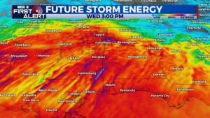
WEDNESDAY: This looks to be the most active weather day of the week. Assuming any morning storms move out, the environment should recharge and be favorable for additional rounds of locally intense storms. These would be capable of significant hail/wind primarily, though a tornado isn’t out of the question. Timing is still a bit uncertain, but the first round of intense storms could begin developing around midday. Stay tuned for updates!
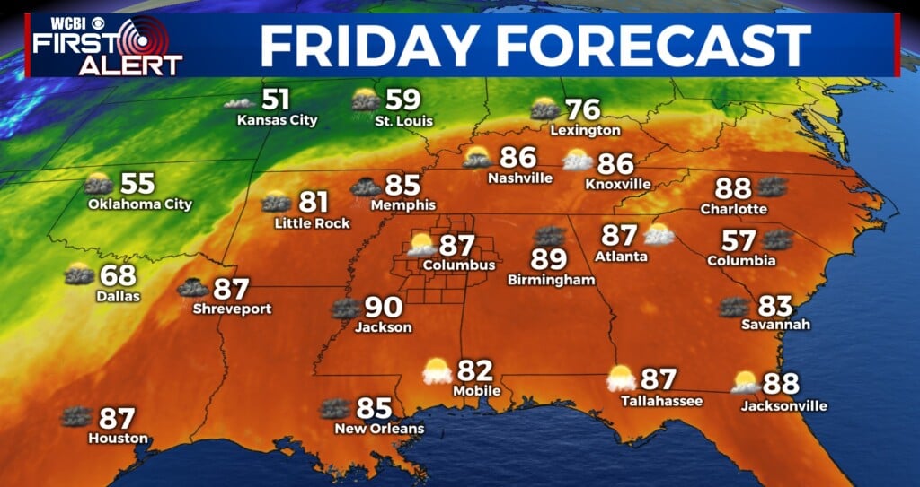
THU/FRI: Somewhat quieter weather temporarily settles in Thursday, though a few lingering showers or storms will be possible. The active pattern will continue Friday, but uncertainty remains on exactly how upstream storms will evolve.
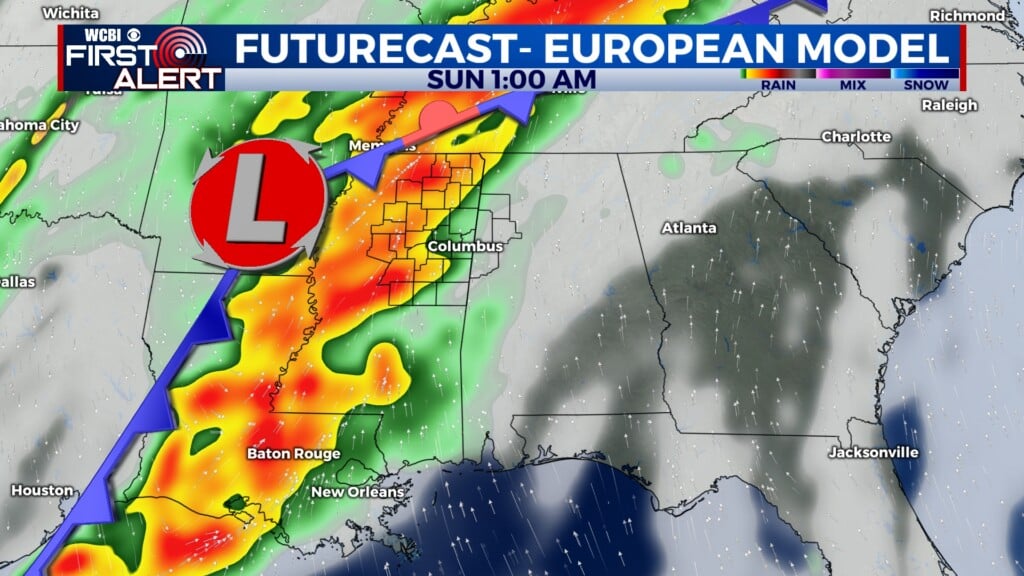
WEEKEND: This should be the last of the unseasonably active pattern. A couple more waves of storms appear possible in this time frame, but exact timing remains unclear. Like previous days, some storms could pack a punch.


