Unseasonably mild air to continue
SUMMARY: Mild fall air is slated to continue through the weekend and next week. Rain chances will remain slim but a few showers can’t be ruled out on Saturday. Higher odds will wait until the middle to end of next week.
TROPICS: The remnants of Hurricane Eta are still forecast to drift back up to near South Florida by late in the weekend. The system could linger somewhere in the eastern Gulf of Mexico through most of next week. It still appears as though it won’t be an issue for our region but we’ll keep watching.
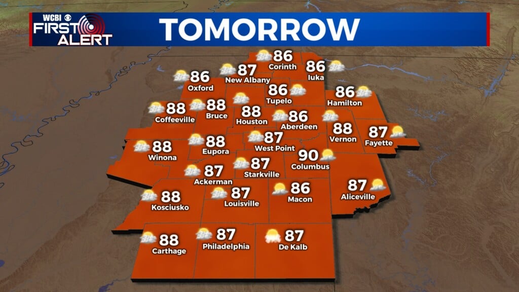
THURSDAY: A few high clouds. Lows in the mid to upper 40s. Light wind.
FRIDAY: Partly cloudy and mild. Highs in the low to mid 70s. Evening temperatures in the 60s and 50s making for a nice night for high school football.
FRIDAY NIGHT: Scattered clouds. Lows in the 50s.
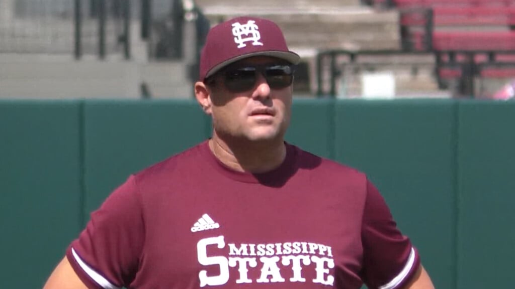
SATURDAY: Partly to mostly cloudy. Just a slight chance of a few showers. Highs in the mid 70s. Conditions should be pretty good for the MSU game in Starkville during the afternoon. Lows around 60 Saturday night.
SUNDAY – TUESDAY: Partly cloudy. Warm highs in the upper 70s. Lows around 60.
WEDNESDAY – THURSDAY: Partly to mostly cloudy with a chance of showers. Highs stay in the 70s with lows in the low 60s.
Follow @WCBIWEATHER on Facebook, Twitter, Instagram, and the WCBI News App


Leave a Reply