Tropics getting active & staying very much like summer this weekend
SUMMARY: We’re still watching the tropics as Tropical Storm Hanna is in the Gulf of Mexico and is forecast to move into Texas this weekend. Tropical Storm Gonzalo out in the Atlantic will push into the Caribbean by early next week so we’ll continue to monitor where it goes, but for now no worries for us. We’re staying in our typical summertime weather pattern for the last weekend of July with hot & humid conditions & afternoon pop-up showers & storms.

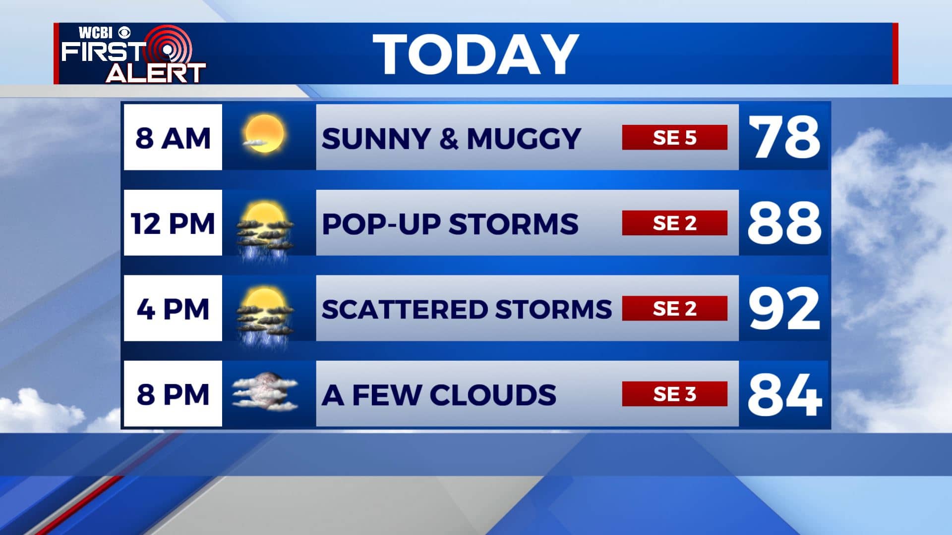
FRIDAY: Another hot and humid day is ahead along with a mix of sun & clouds this morning. We’ll have afternoon pop-up scattered shower & storm chances. Highs in the lower to mid 90s with heat index values over 100. SE winds 5-10 mph. Stay cool!
FRIDAY NIGHT: Partly cloudy skies. Overnight lows will be in the 70s.
WEEKEND: A mix of sun and clouds. Staying hot and humid with highs in the 90s. Peak heat indices will be over 100 once again. Expect some spotty storms each day mainly from late morning through the mid evening thanks to the daytime heating. Overnight lows in the 70s with partly cloudy skies.

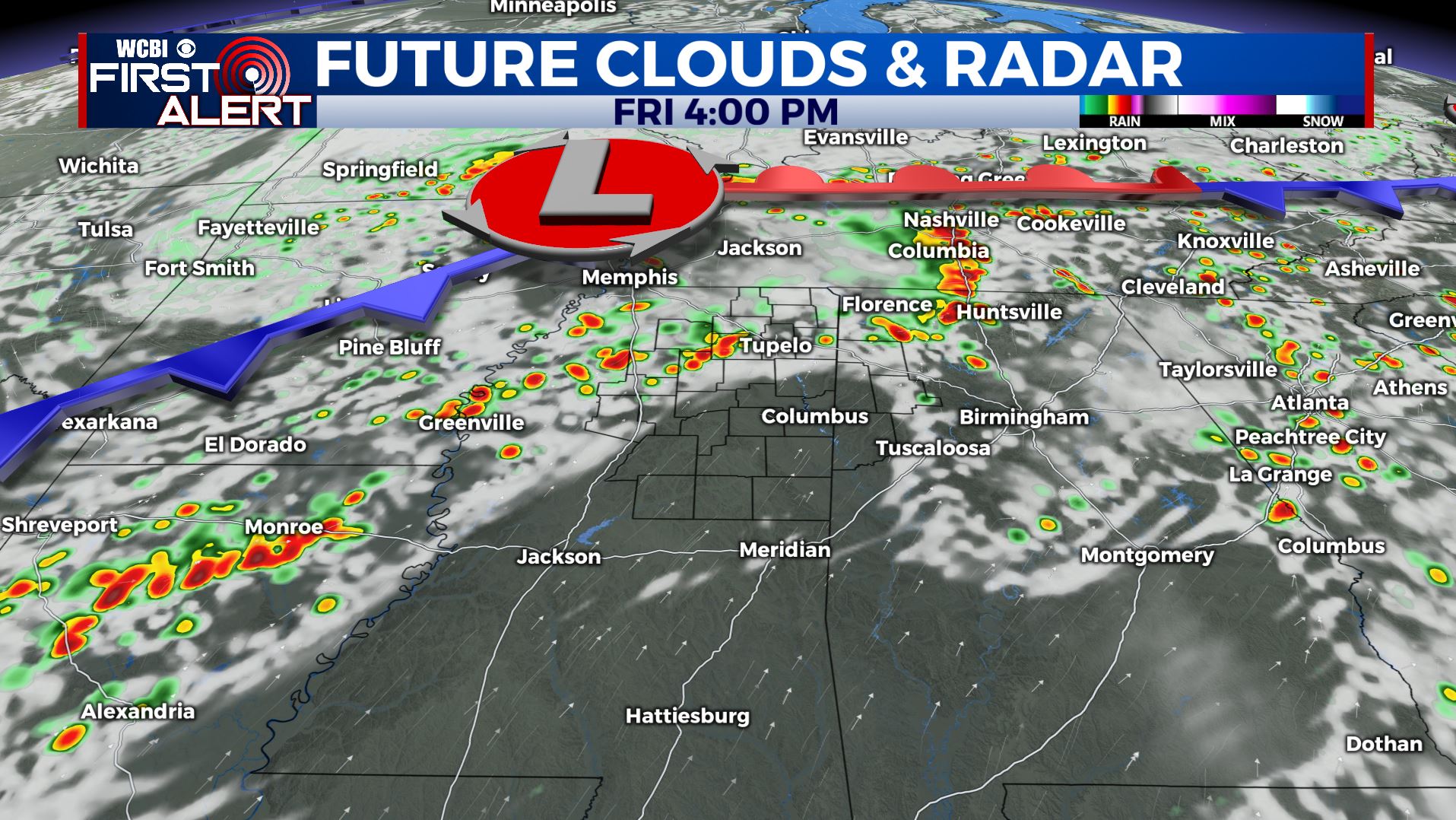
NEXT WEEK: A cold front may come down into the Deep South midweek. We’ll have more likely chances of showers and storms Tuesday through Thursday. Highs will finally cool down into the upper 80s to around 90 and lower humidity levels so finally a break from the summer heat. Overnight lows stay in the 70s.
Stay connected with @WCBIWEATHER on Facebook, Twitter, Instagram, and the WCBI News App


Leave a Reply