Hot, humid, sct’d storms
SUMMARY: The weather pattern will remain pretty much the same through the weekend so plan on more heat, humidity, and spotty storms. Rain chances may gradually tick back up by the middle of next week. A tropical system now in the Gulf of Mexico is going to move into Texas by the weekend and have no bearing on weather here. Tropical Storm Gonzalo out in the Atlantic will push into the Caribbean by early next week so we’ll continue to monitor where it goes.
THURSDAY NIGHT: Turning clear to partly cloudy. Light southeasterly winds and lows in the mid to low 70s.
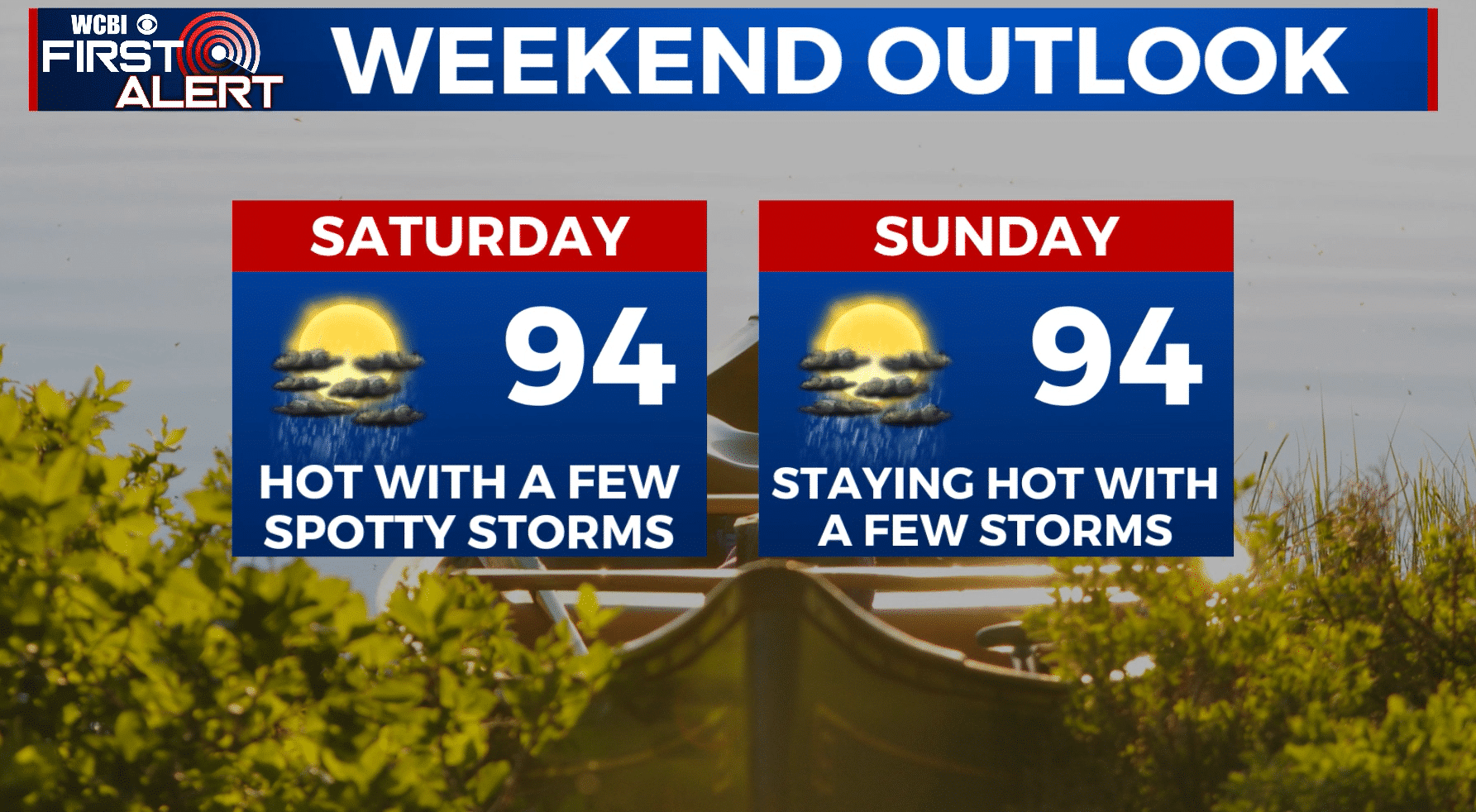
FRIDAY-SUNDAY: Partly cloudy, hot, and humid. Highs in the mid 90s with overnight lows in the 70s. Peak heat indices will be over 100 once again. Expect some spotty storms each day mainly from late morning through the mid evening. We’re going to keep the chance of rain in the 20-30% range for now.
NEXT WEEK: A weak cold front may come down into the region and fall apart. The end result would be an increased chance of showers and storms Tuesday through Thursday. Highs will cool into the upper 80s to around 90 while overnight lows stay in the 70s.
Follow @WCBIWEATHER on Facebook, Twitter, Instagram, and the WCBI News App


Leave a Reply