September 8th, 2018 Afternoon Update
Rain is expected to stick around through the weekend, and will allow our work week to start out with temperatures a little lower than normal.
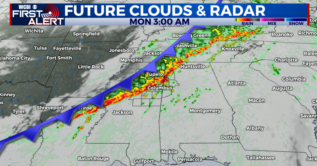
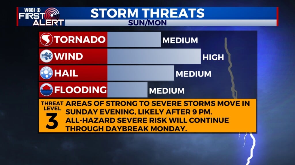
SUNDAY: A cold front will begin to work its way across northeastern Mississippi and western Alabama through the early morning hours on Sunday. Showers and storms will be more scattered to start things off early Sunday morning. You can expect those showers and storms to become more numerous as we head into the afternoon hours. We are not expecting any severe weather with these storms, but a few gusty winds could be possible. Heavy rain is our main concern with this system. As we head into the evening hours, rain will be more focused over the southern and eastern portions of the area. Many areas that saw heavy rain from Tropical Storm Gordon have the potential to see more heavy rainfall. As we go into the overnight hours, the cold front will begin to push off to our east, taking most of the rain with it. We could have a few showers linger overnight.
MONDAY/TUESDAY/WEDNESDAY: Our work week will start out a little cooler than what we are use to this time of year. Thanks to the passage of the cold front, high temperatures will top out in the lower to middle 80s for the first half of the work-week. Our rain chances will become more scattered throughout the week, as high pressure begins to settle back into our area Wednesday afternoon into Thursday. Overnight lows will be in the upper 60s.
THURSDAY/FRIDAY/SATURDAY: Once high pressure moves back into our area, our temperatures will begin to warm back into the upper 80s and lower 90s. We will return to our isolated, pop-up afternoon shower pattern for the second half of the work-week. Rain chances will remain isolated for our area as we head into the weekend. Overnight lows will remain in the upper 60s to lower 70s.


Leave a Reply